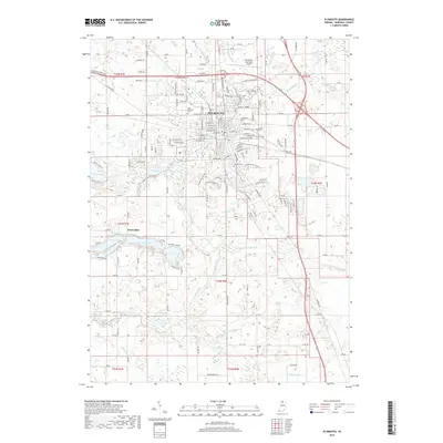
2019 Map of Plymouth
USGS Topo · Published 2019About this map
Plymouth serves as the focal point of this 2019 survey, situated where the Yellow River winds through the northern Indiana landscape. The area is defined by a dense network of drainage infrastructure, including the Breeding Ditch, Hartman Ditch, and Leffert Ditch, illustrating the long-standing agricultural management of the Marshall County terrain. To the southwest, a cluster of glacial lakes provides a distinct contrast to the grid of rural roads, with Pretty Lake, Dixon Lake, and Holem Lake forming a significant recreational and residential sub-district near Twin Lakes.
Find a feature on this map
34 named features on this map. Tap any name to fly to it.
Don’t see what you’re looking for? This feature index may not catch every label — zoom into the map to look around manually.
Map Details
Editions of this 2019 Plymouth Map
This is the sole edition of this map. No revisions or reprints were ever made.
Other maps of this area

1953 · Chicago
USGS Topo · 1:250,000

1957 · Chicago
USGS Topo · 1:250,000

1957 · Inwood
USGS Topo · 1:24,000

1957 · Plymouth
USGS Topo · 1:24,000

1958 · Donaldson
USGS Topo · 1:24,000

1958 · Bremen
USGS Topo · 1:24,000

1958 · La Paz
USGS Topo · 1:24,000

1958 · Walkerton
USGS Topo · 1:24,000

1962 · Argos
USGS Topo · 1:24,000

1962 · Culver
USGS Topo · 1:24,000