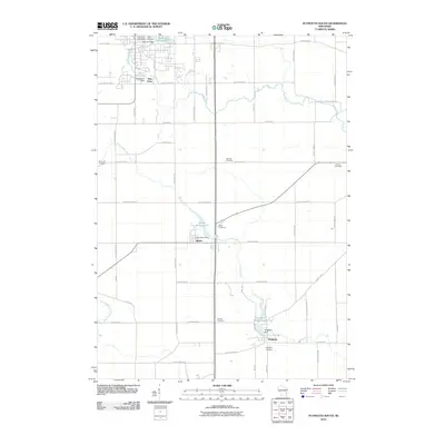
2010 Map of Plymouth South
USGS Topo · Published 2010About this map
The Mullet River and the Onion River dictate the geography of southern Sheboygan County, where early industrial water power shaped local settlements. This survey documents the mill-driven development of Waldo and Hingham, both centered on historic millponds such as the Waldo Millpond 22 and Hingham Millpond 34. The legacy of these small-town hubs is further evidenced by several namesake landmarks, including the Onion River Dam and Hingham Dam.
Find a feature on this map
55 named features on this map. Tap any name to fly to it.
Don’t see what you’re looking for? This feature index may not catch every label — zoom into the map to look around manually.
Map Details
Editions of this 2010 Plymouth South Map
This is the sole edition of this map. No revisions or reprints were ever made.
Other maps of this area

1954 · Sheboygan Falls
USGS Topo · 1:62,500

1954 · Sheboygan Falls
USGS Topo · 1:24,000

1954 · Howards Grove
USGS Topo · 1:62,500

1954 · Howards Grove
USGS Topo · 1:24,000

1954 · Franklin
USGS Topo · 1:24,000

1954 · Kiel
USGS Topo · 1:62,500

1954 · Milwaukee
USGS Topo · 1:250,000

1955 · Kewaskum
USGS Topo · 1:62,500

1957 · Madison
USGS Topo · 1:250,000

1958 · Milwaukee
USGS Topo · 1:250,000