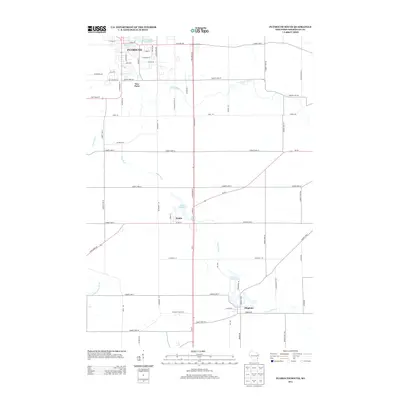
2013 Map of Plymouth South
USGS Topo · Published 2013About this map
Plymouth serves as the primary hub in this portion of Sheboygan County, where the Mullet River winds through the northern street grid. The landscape is defined by its water-powered history, evidenced by a string of significant impoundments including the Plymouth Millpond 58.6, Waldo Millpond 22, and Hingham Mill Pond. These ponds, situated along the Onion River and its tributaries, reflect the early industrial development of the settlements at Waldo and Hingham. South of the city, the small community of New Paris sits near the 72 Reservoir, while the rural surroundings are connected by a dense network of county highways. The map also captures the path of the N Br Milwaukee River as it cuts through the southwestern corner, illustrating the complex drainage patterns of this Wisconsin dairy country region.
Find a feature on this map
66 named features on this map. Tap any name to fly to it.
Don’t see what you’re looking for? This feature index may not catch every label — zoom into the map to look around manually.
Map Details
Editions of this 2013 Plymouth South Map
This is the sole edition of this map. No revisions or reprints were ever made.
Other maps of this area

1954 · Sheboygan Falls
USGS Topo · 1:62,500

1954 · Sheboygan Falls
USGS Topo · 1:24,000

1954 · Howards Grove
USGS Topo · 1:62,500

1954 · Howards Grove
USGS Topo · 1:24,000

1954 · Franklin
USGS Topo · 1:24,000

1954 · Kiel
USGS Topo · 1:62,500

1954 · Milwaukee
USGS Topo · 1:250,000

1955 · Kewaskum
USGS Topo · 1:62,500

1957 · Madison
USGS Topo · 1:250,000

1958 · Milwaukee
USGS Topo · 1:250,000