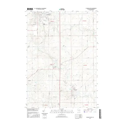
2016 Map of Plymouth South
USGS Topo · Published 2016About this map
The Mullet River and Onion River systems dictate the settlement patterns and industrial history across this Sheboygan County landscape. The city of Plymouth dominates the northern boundary, where the Plymouth Millpond once supported local milling operations. Southward, the village of Waldo and the small communities of Cascade, Hingham, and Adell are connected by a network of county roads such as Co Rd V and Co Rd N.
Find a feature on this map
68 named features on this map. Tap any name to fly to it.
Don’t see what you’re looking for? This feature index may not catch every label — zoom into the map to look around manually.
Map Details
Editions of this 2016 Plymouth South Map
This is the sole edition of this map. No revisions or reprints were ever made.
Other maps of this area

1954 · Sheboygan Falls
USGS Topo · 1:62,500

1954 · Sheboygan Falls
USGS Topo · 1:24,000

1954 · Howards Grove
USGS Topo · 1:62,500

1954 · Howards Grove
USGS Topo · 1:24,000

1954 · Franklin
USGS Topo · 1:24,000

1954 · Kiel
USGS Topo · 1:62,500

1954 · Milwaukee
USGS Topo · 1:250,000

1955 · Kewaskum
USGS Topo · 1:62,500

1957 · Madison
USGS Topo · 1:250,000

1958 · Milwaukee
USGS Topo · 1:250,000