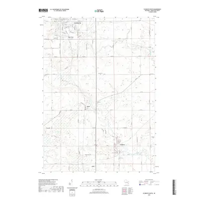
2018 Map of Plymouth South
USGS Topo · Published 2018About this map
The Mullet River and Onion River systems define the drainage of this Sheboygan County landscape, anchoring a series of small agricultural and residential centers. To the north, the city of Plymouth shows its street grid and the nearby community of New Paris. Moving south along the river valleys, the map details several rural villages and hamlets including Waldo, Cascade, Hingham, and Adell. These settlements are interspersed with numerous small burial grounds that serve as vital records for local genealogy, such as Winooski Cem, Evergreen Cem, and Farmin Cem. The low-lying terrain is most notably marked by the Cascade Swamp, which dominates the area west of Cascade, while the 72 Reservoir sits just south of the Plymouth city limits.
Find a feature on this map
70 named features on this map. Tap any name to fly to it.
Don’t see what you’re looking for? This feature index may not catch every label — zoom into the map to look around manually.
Map Details
Editions of this 2018 Plymouth South Map
This is the sole edition of this map. No revisions or reprints were ever made.
Other maps of this area

1954 · Sheboygan Falls
USGS Topo · 1:62,500

1954 · Sheboygan Falls
USGS Topo · 1:24,000

1954 · Howards Grove
USGS Topo · 1:62,500

1954 · Howards Grove
USGS Topo · 1:24,000

1954 · Franklin
USGS Topo · 1:24,000

1954 · Kiel
USGS Topo · 1:62,500

1954 · Milwaukee
USGS Topo · 1:250,000

1955 · Kewaskum
USGS Topo · 1:62,500

1957 · Madison
USGS Topo · 1:250,000

1958 · Milwaukee
USGS Topo · 1:250,000