Loading...
Loading map...2022 Map of Plymouth West
USGS Topo · Published 2022About this map
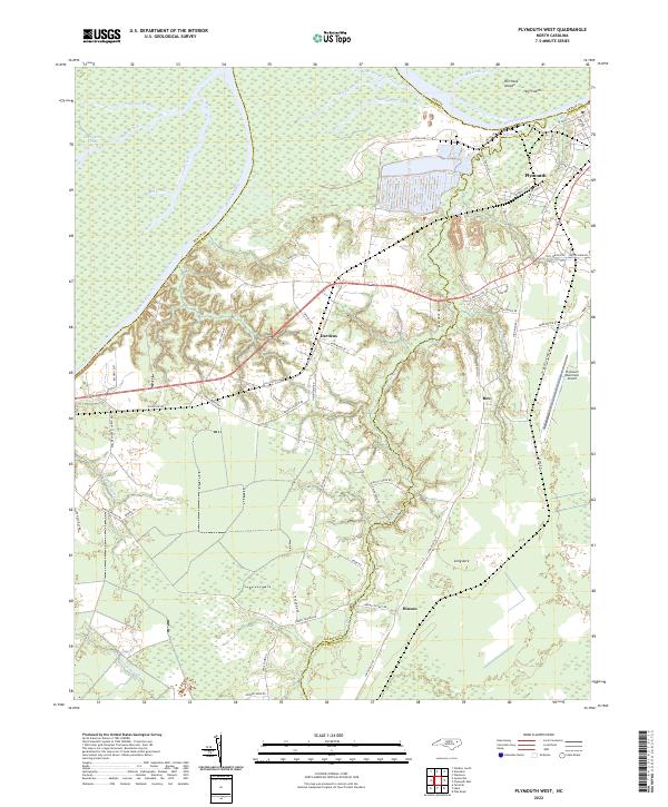
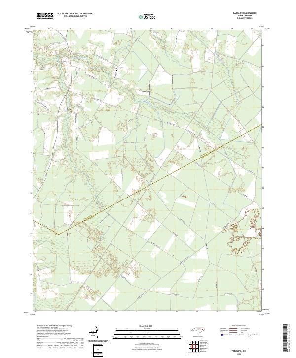
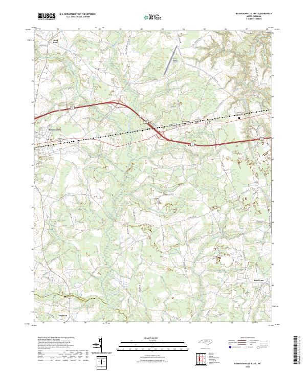
The Roanoke River and Middle River wind through the coastal lowlands of Martin and Washington Counties, defining a landscape shaped by water and heavy industry. Near the riverbanks, large-scale industrial operations are visible along Weyco Dr and Pulp Mill Rd, adjacent to the residential streets of western Plymouth. This 2022 survey captures the modern road network, including the path of Highway 64 as it passes the community of Dardens.
Find a feature on this map
68 named features on this map. Tap any name to fly to it.
Don’t see what you’re looking for? This feature index may not catch every label — zoom into the map to look around manually.
Map Details
Date Portrayed2022
Date Published2022
PublisherU.S. Geological Survey
Map TypeTopographic
Scale1:24000
Physical Dimensions24 x 29 inches
Editions of this 2022 Plymouth West Map
This is the sole edition of this map. No revisions or reprints were ever made.
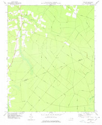
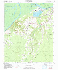
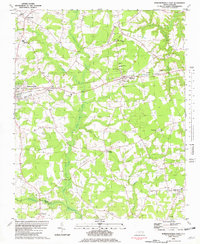
Historical Maps of Dardens Through Time
8 maps found
Featured Locations
Source Details
SourceU.S. Geological Survey
CopyrightPublic Domain