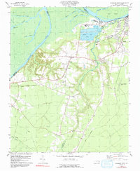
1979 Map of Plymouth West
USGS Topo · Published 1991About this map
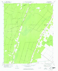
The Roanoke River and its intricate swamp system dominate the landscape of this Martin County survey, where the river separates the mainland from Huff Island and the neighboring Bertie County line. The settlement of Plymouth sits at the northeastern edge of the sheet, defined by its rail connections via the Norfolk Southern and Seaboard Coast Line. Significant industrial activity is visible just west of town at the Industrial Waste Ponds and several nearby sandpits along Welch Creek.
Find a feature on this map
39 named features on this map. Tap any name to fly to it.
Don’t see what you’re looking for? This feature index may not catch every label — zoom into the map to look around manually.
Map Details
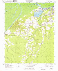
Editions of this 1979 Plymouth West Map
2 editions found
Other maps of this area

1914 · Belhaven
USGS Topo · 1:48,000

1916 · Belhaven
USGS Topo · 1:62,500

1943 · Plymouth
USGS Topo · 1:125,000

1953 · Rocky Mount
USGS Topo · 1:250,000

1954 · Rocky Mount
USGS Topo · 1:250,000

1954 · Plymouth East
USGS Topo · 1:24,000

1954 · Westover
USGS Topo · 1:24,000
1954 · Pike Road
USGS Topo · 1:24,000
1978 · Farmlife
USGS Topo · 1:24,000
1978 · Hoke
USGS Topo · 1:24,000