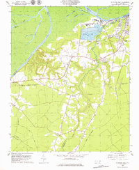
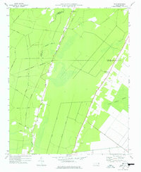
1979 Map of Plymouth West
USGS Topo · Published 1979About this map
The Roanoke River dominates the northern border of this landscape, separating the intricate wetlands of Huff Island and Lanier Swamp from the industrial development of Martin County. At the edge of the river, the town of Plymouth serves as a focal point for regional infrastructure, characterized by massive industrial waste ponds and the presence of several sandpits along Welch Creek. The map documents a heavily agricultural and industrial hinterland where early 1970s land use is evident through numerous small rural churches and family-named cemeteries.
Find a feature on this map
42 named features on this map. Tap any name to fly to it.
Don’t see what you’re looking for? This feature index may not catch every label — zoom into the map to look around manually.
Map Details
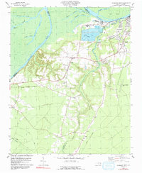
Editions of this 1979 Plymouth West Map
2 editions found
Other maps of this area

1914 · Belhaven
USGS Topo · 1:48,000

1916 · Belhaven
USGS Topo · 1:62,500

1943 · Plymouth
USGS Topo · 1:125,000

1953 · Rocky Mount
USGS Topo · 1:250,000

1954 · Rocky Mount
USGS Topo · 1:250,000

1954 · Plymouth East
USGS Topo · 1:24,000

1954 · Westover
USGS Topo · 1:24,000
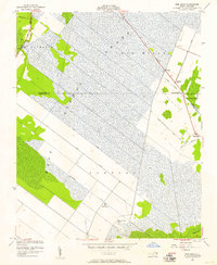
1954 · Pike Road
USGS Topo · 1:24,000
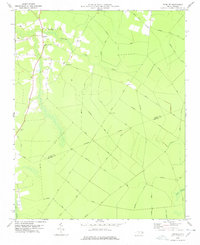
1978 · Farmlife
USGS Topo · 1:24,000
1978 · Hoke
USGS Topo · 1:24,000