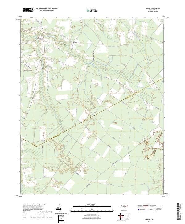
2022 Map of Farmlife
USGS Topo · Published 2022About this map
The rural borderlands between Martin and Beaufort counties are defined by a network of drainage canals and meandering wetlands. Low-lying tracts like Big Swamp and Fork Swamp dominate the southern half of the quadrangle, where the land is scored by the Smithwick Canal Rd and various fire access routes. This area showcases a landscape engineered for timber and agriculture, transitioning from the natural drainage of Hardison Mill Cr in the north to straightened waterways in the south.
Find a feature on this map
37 named features on this map. Tap any name to fly to it.
Don’t see what you’re looking for? This feature index may not catch every label — zoom into the map to look around manually.
Map Details
Editions of this 2022 Farmlife Map
This is the sole edition of this map. No revisions or reprints were ever made.
Other maps of this area

1901 · Williamston
USGS Topo · 1:62,500

1902 · Williamston
USGS Topo · 1:62,500

1903 · Chocowinity
USGS Topo · 1:62,500

1905 · Chocowinity
USGS Topo · 1:62,500

1943 · Plymouth
USGS Topo · 1:125,000

1950 · Pinetown
USGS Topo · 1:24,000

1951 · Bunyan
USGS Topo · 1:24,000

1951 · Washington
USGS Topo · 1:24,000

1953 · Rocky Mount
USGS Topo · 1:250,000

1954 · Rocky Mount
USGS Topo · 1:250,000