
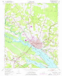
1951 Map of Washington
USGS Topo · Published 1959About this map
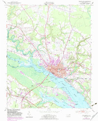
Washington and the Pamlico River define this North Carolina coastal plain landscape during the early 1950s. The town acts as a central hub for the Norfolk Southern and Atlantic Coast Line railroads, which cross the river near Washington Park and Chocowinity. The rural areas are marked by a dense network of country churches such as Wares Chapel, Beebe Chapel, and House of Prayer Ch, alongside local education centers like Peyton Sch.
Find a feature on this map
57 named features on this map. Tap any name to fly to it.
Don’t see what you’re looking for? This feature index may not catch every label — zoom into the map to look around manually.
Map Details
Editions of this 1951 Washington Map
3 editions found
Other maps of this area

1902 · Vanceboro
USGS Topo · 1:62,500

1903 · Chocowinity
USGS Topo · 1:62,500

1904 · Vanceboro
USGS Topo · 1:62,500

1905 · Chocowinity
USGS Topo · 1:62,500

1905 · Vanceboro
USGS Topo · 1:62,500

1943 · Plymouth
USGS Topo · 1:125,000

1951 · Bunyan
USGS Topo · 1:24,000

1951 · Hackney
USGS Topo · 1:24,000

1953 · Blounts Bay
USGS Topo · 1:24,000

1953 · Rocky Mount
USGS Topo · 1:250,000