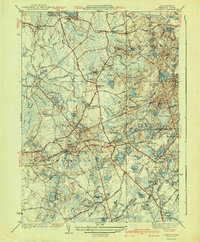
1941 Map of Plympton
USGS Topo · Published 1941About this map
The cranberry industry and bog agriculture dominate this landscape south of Halifax, where the intensive use of wet lowlands is clearly visible. Numerous named bogs, including Manneros Bog, Rocky Meadow Bogs, and Shaw Bogs, punctuate the terrain between the Winnetuxet River and the Jones River. This agrarian and industrial character is further grounded by the presence of Cobb Mill and a series of rural schoolhouses such as Soule Sch and Carver Sch.
Find a feature on this map
98 named features on this map. Tap any name to fly to it.
Don’t see what you’re looking for? This feature index may not catch every label — zoom into the map to look around manually.
Map Details
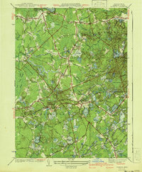
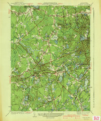
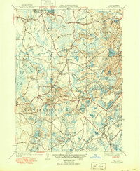
Editions of this 1941 Plympton Map
4 editions found
Other maps of this area

1885 · Abington
USGS Topo · 1:62,500

1885 · Duxbury
USGS Topo · 1:62,500

1885 · Middleboro
USGS Topo · 1:62,500

1886 · Plymouth
USGS Topo · 1:62,500

1888 · Duxbury
USGS Topo · 1:62,500

1888 · Middleboro
USGS Topo · 1:62,500

1888 · Abington
USGS Topo · 1:62,500

1889 · Plymouth
USGS Topo · 1:62,500

1893 · Abington
USGS Topo · 1:62,500

1893 · Duxbury
USGS Topo · 1:62,500