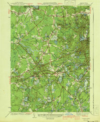
1941 Map of Plympton
USGS Topo · Published 1941About this map
Turkey Swamp and numerous cranberry operations dominate this southeastern Massachusetts landscape, reflecting the region's long-standing agricultural focus. This 1937 survey reveals the intricate water management of the day, with Rocky Meadow Bogs and Shaw Bogs punctuating the lowlands. The rural character of Plympton and Carver is evident in the network of country roads connecting local landmarks like Shurtleff Corner and Harrubs Corner.
Find a feature on this map
70 named features on this map. Tap any name to fly to it.
Don’t see what you’re looking for? This feature index may not catch every label — zoom into the map to look around manually.
Map Details
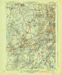
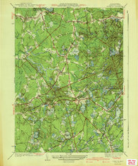
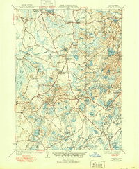
Editions of this 1941 Plympton Map
4 editions found
Other maps of this area

1885 · Abington
USGS Topo · 1:62,500

1885 · Duxbury
USGS Topo · 1:62,500

1885 · Middleboro
USGS Topo · 1:62,500

1886 · Plymouth
USGS Topo · 1:62,500

1888 · Duxbury
USGS Topo · 1:62,500

1888 · Middleboro
USGS Topo · 1:62,500

1888 · Abington
USGS Topo · 1:62,500

1889 · Plymouth
USGS Topo · 1:62,500

1893 · Abington
USGS Topo · 1:62,500

1893 · Duxbury
USGS Topo · 1:62,500