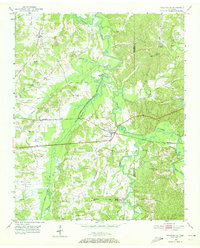
1950 Map of Pocahontas
USGS Topo · Published 1972About this map
Pocahontas serves as the focal point of this mid-century landscape, situated near the confluence of the Hatchie River and the Tuscumbia River. The area is defined by its intricate network of waterways and wetlands, notably Cypress Creek and the meandering Muddy Creek. The transportation infrastructure of the era is clearly marked by the Southern and the Gulf Mobile and Ohio railroads, which intersect the terrain and shaped the development of settlements like Lacy.
Find a feature on this map
32 named features on this map. Tap any name to fly to it.
Don’t see what you’re looking for? This feature index may not catch every label — zoom into the map to look around manually.
Map Details
Editions of this 1950 Pocahontas Map
This is the sole edition of this map. No revisions or reprints were ever made.
Other maps of this area
1950 · Corinth
USGS Topo · 1:62,500
1950 · Hebron
USGS Topo · 1:24,000
1950 · Hornsby
USGS Topo · 1:24,000
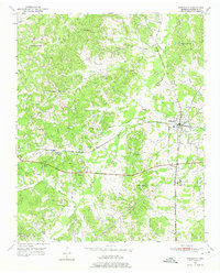
1950 · Middleton
USGS Topo · 1:24,000
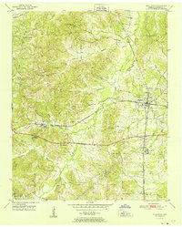
1951 · Middleton
USGS Topo · 1:24,000
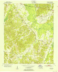
1951 · Hebron
USGS Topo · 1:24,000
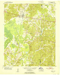
1951 · Hornsby
USGS Topo · 1:24,000
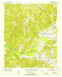
1951 · Chewalla
USGS Topo · 1:24,000
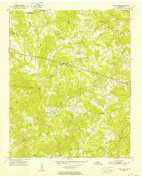
1951 · Rose Creek
USGS Topo · 1:24,000
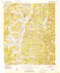
1951 · Walnut
USGS Topo · 1:62,500