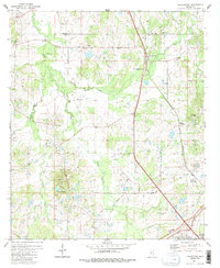
1980 Map of Pocahontas
USGS Topo · Published 1986About this map
Pocahontas stands at the intersection of the Illinois Central Gulf Railroad and local thoroughfares north of Jackson, anchored by the ancient site preserved at Pocahontas Mounds Roadside Park. This 1980 survey reveals a rural landscape in transition, where family-named landmarks like Tinnin Cem and Roberts Cem sit alongside emerging suburban developments like Presidential Hills. The terrain is defined by the winding course of Bogue Chitto Creek and Limekiln Creek, which drain a region dotted with numerous rural congregations including Wells Chapel, St Paul Ch, and Bakers Grove Ch. Industrial activity is evident in several Sandpits and a Gravel Pit near County Line Ch, while the southern edge of the map features the modern path of the Natchez Trace Parkway as it bypasses the older agricultural settlements of Tinnin and Green Crossing.
Find a feature on this map
40 named features on this map. Tap any name to fly to it.
Don’t see what you’re looking for? This feature index may not catch every label — zoom into the map to look around manually.
Map Details
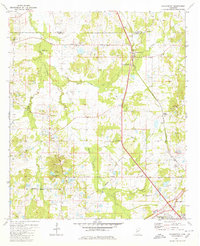
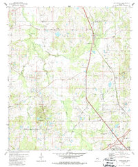
Editions of this 1980 Pocahontas Map
3 editions found
Other maps of this area

1903 · Jackson
USGS Topo · 1:125,000

1905 · Jackson
USGS Topo · 1:48,000

1908 · Jackson
USGS Topo · 1:62,500

1934 · Raymond
USGS Topo · 1:48,000

1937 · Raymond
USGS Topo · 1:62,500

1942 · Raymond
USGS Topo · 1:62,500

1955 · Jackson
USGS Topo · 1:250,000

1961 · Jackson
USGS Topo · 1:250,000

1961 · Canton
USGS Topo · 1:62,500

1962 · Jackson
USGS Topo · 1:250,000