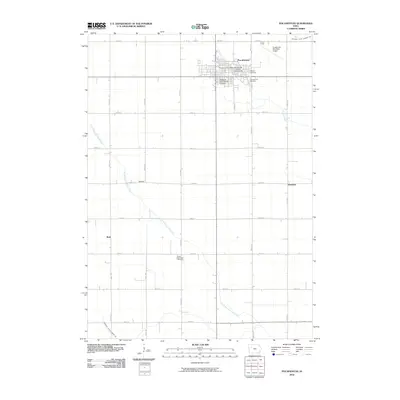
2010 Map of Pocahontas
USGS Topo · Published 2010About this map
Pocahontas serves as the focal point of this northern Iowa landscape, showing a structured grid of streets including S Main St and SE 6th St. The town's institutional history is anchored by the Sisters of Saint Francis Convent, the Pocahontas Post Office, and the Pocahontas County Fairgrounds. Beyond the town limits, the agricultural character of the region is evident in the precise network of section-line roads like 510th St and 240th Ave, interspersed with named locations such as Learned, Westview, and Rusk.
Find a feature on this map
31 named features on this map. Tap any name to fly to it.
Don’t see what you’re looking for? This feature index may not catch every label — zoom into the map to look around manually.
Map Details
Editions of this 2010 Pocahontas Map
This is the sole edition of this map. No revisions or reprints were ever made.
Other maps of this area

1954 · Fort Dodge
USGS Topo · 1:250,000

1957 · Fort Dodge
USGS Topo · 1:250,000

1958 · Fort Dodge
USGS Topo · 1:250,000

1971 · Laurens
USGS Topo · 1:24,000

1979 · Pocahontas
USGS Topo · 1:24,000

1979 · Fonda
USGS Topo · 1:24,000

1979 · Manson
USGS Topo · 1:24,000

1979 · Pomeroy
USGS Topo · 1:24,000

1979 · Palmer
USGS Topo · 1:24,000

1979 · Fonda NE
USGS Topo · 1:24,000