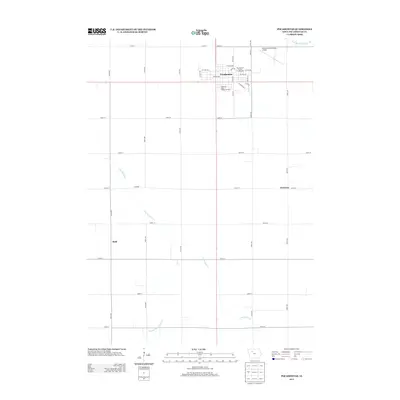
2013 Map of Pocahontas
USGS Topo · Published 2013About this map
The Pocahontas County Fairgrounds and the central Court Sq anchor this 2013 layout of the county seat, revealing the organized grid of a classic Iowa prairie town. The map documents a community defined by its religious and civic institutions, most notably the Sisters of Saint Francis Convent located south of the main commercial district. The surrounding landscape is heavily modified for agriculture, characterized by an extensive network of managed waterways like Drainage Ditch Number 169 and Drainage Ditch Number 66, which support the productive farmland between the winding paths of Lizard Cr and the S Br Lizard Cr. Smaller named localities such as Westview, Rusk, and Learned appear at rural intersections, while the Pocahontas Municipal Airport occupies the northeastern edge of the city.
Find a feature on this map
38 named features on this map. Tap any name to fly to it.
Don’t see what you’re looking for? This feature index may not catch every label — zoom into the map to look around manually.
Map Details
Editions of this 2013 Pocahontas Map
This is the sole edition of this map. No revisions or reprints were ever made.
Other maps of this area

1954 · Fort Dodge
USGS Topo · 1:250,000

1957 · Fort Dodge
USGS Topo · 1:250,000

1958 · Fort Dodge
USGS Topo · 1:250,000

1971 · Laurens
USGS Topo · 1:24,000

1979 · Pocahontas
USGS Topo · 1:24,000

1979 · Fonda
USGS Topo · 1:24,000

1979 · Manson
USGS Topo · 1:24,000

1979 · Pomeroy
USGS Topo · 1:24,000

1979 · Palmer
USGS Topo · 1:24,000

1979 · Fonda NE
USGS Topo · 1:24,000