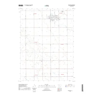
2018 Map of Pocahontas
USGS Topo · Published 2018About this map
Pocahontas serves as the central hub for this late 2010s survey, characterized by the rigid section-line grid of the Iowa prairie. The town's layout is centered on Court Sq and extends along a series of numbered avenues and streets, including W Elm Ave and Se Railroad St. Outside the town limits, the landscape transitions into large-scale agricultural blocks, bisected by the meandering paths of Lizard Cr and the S Br Lizard Cr.
Find a feature on this map
51 named features on this map. Tap any name to fly to it.
Don’t see what you’re looking for? This feature index may not catch every label — zoom into the map to look around manually.
Map Details
Editions of this 2018 Pocahontas Map
This is the sole edition of this map. No revisions or reprints were ever made.
Other maps of this area

1954 · Fort Dodge
USGS Topo · 1:250,000

1957 · Fort Dodge
USGS Topo · 1:250,000

1958 · Fort Dodge
USGS Topo · 1:250,000

1971 · Laurens
USGS Topo · 1:24,000

1979 · Pocahontas
USGS Topo · 1:24,000

1979 · Fonda
USGS Topo · 1:24,000

1979 · Manson
USGS Topo · 1:24,000

1979 · Pomeroy
USGS Topo · 1:24,000

1979 · Palmer
USGS Topo · 1:24,000

1979 · Fonda NE
USGS Topo · 1:24,000