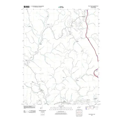
2011 Map of Pocatalico
USGS Topo · Published 2011About this map
The Pocatalico River meanders through this portion of Kanawha County, where numerous family-named cemeteries and small creek valleys define the local geography. Significant for genealogists and local historians, the landscape is dotted with ancestral burial grounds such as McClanahan Cemetery, Sinclair Cemetery, and Casdorph Cemetery. The settlement at Pocatalico serves as a northern anchor, while the southern reach transitions into the residential expansion of North Charleston and Edgewood Acres.
Find a feature on this map
100 named features on this map. Tap any name to fly to it.
Don’t see what you’re looking for? This feature index may not catch every label — zoom into the map to look around manually.
Map Details
Editions of this 2011 Pocatalico Map
This is the sole edition of this map. No revisions or reprints were ever made.
Other maps of this area

1899 · Charleston
USGS Topo · 1:125,000

1906 · Kenna
USGS Topo · 1:62,500

1906 · Winfield
USGS Topo · 1:62,500

1907 · Kenna
USGS Topo · 1:62,500

1908 · Winfield
USGS Topo · 1:62,500

1909 · Charleston
USGS Topo · 1:62,500

1909 · Saint Albans
USGS Topo · 1:62,500

1931 · Saint Albans
USGS Topo · 1:62,500

1931 · Charleston
USGS Topo · 1:62,500

1933 · Saint Albans
USGS Topo · 1:62,500