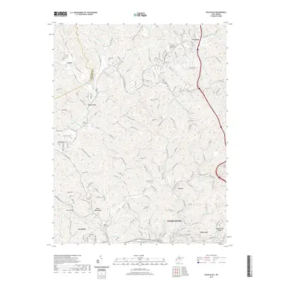
2019 Map of Pocatalico
USGS Topo · Published 2019About this map
Pocatalico River winds through the northern reaches of this Kanawha County landscape, defining the topography near the settlements of Pocatalico and Lanham. The region is characterized by a dense network of hollows and ridges, including Utah Hollow and Thaxton Hollow, which historically dictated the placement of small communities and family burial grounds. The transition toward the urban fringe of Charleston is evident in the south, where Tyler Mountain and Guthrie sit above the drainage of Two Mile Creek Rd.
Find a feature on this map
88 named features on this map. Tap any name to fly to it.
Don’t see what you’re looking for? This feature index may not catch every label — zoom into the map to look around manually.
Map Details
Editions of this 2019 Pocatalico Map
This is the sole edition of this map. No revisions or reprints were ever made.
Other maps of this area

1899 · Charleston
USGS Topo · 1:125,000

1906 · Kenna
USGS Topo · 1:62,500

1906 · Winfield
USGS Topo · 1:62,500

1907 · Kenna
USGS Topo · 1:62,500

1908 · Winfield
USGS Topo · 1:62,500

1909 · Charleston
USGS Topo · 1:62,500

1909 · Saint Albans
USGS Topo · 1:62,500

1931 · Saint Albans
USGS Topo · 1:62,500

1931 · Charleston
USGS Topo · 1:62,500

1933 · Saint Albans
USGS Topo · 1:62,500