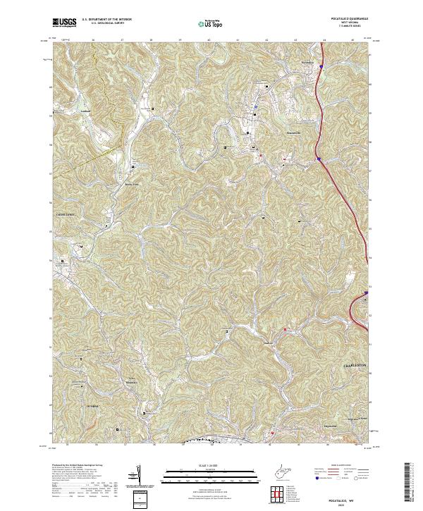
2023 Map of Pocatalico
USGS Topo · Published 2023About this map
Pocatalico River drainage systems define the complex geography of Kanawha County, where northern Charleston and Dunbar transition into the dissected hills of Sissonville and Pocatalico. This recent survey reveals a dense network of county routes and residential expansion into historical hollows, while maintaining a significant record of family and community burial grounds. From the Bailey Tucker Thomas Cem near Lanham to the Layne Cem near the eastern border, the landscape is dotted with small cemeteries that provide essential clues for genealogical research. Notable landmarks include the Tyler Mountain Memory Gardens and the Wine Cellar Nature Trl in the south, while the northern reaches show the evolution of old travel routes along Old US Hwy 21 and the development surrounding Rocky Fork.
Find a feature on this map
178 named features on this map. Tap any name to fly to it.
Don’t see what you’re looking for? This feature index may not catch every label — zoom into the map to look around manually.
Map Details
Editions of this 2023 Pocatalico Map
This is the sole edition of this map. No revisions or reprints were ever made.
Other maps of this area

1899 · Charleston
USGS Topo · 1:125,000

1906 · Kenna
USGS Topo · 1:62,500

1906 · Winfield
USGS Topo · 1:62,500

1907 · Kenna
USGS Topo · 1:62,500

1908 · Winfield
USGS Topo · 1:62,500

1909 · Charleston
USGS Topo · 1:62,500

1909 · Saint Albans
USGS Topo · 1:62,500

1931 · Saint Albans
USGS Topo · 1:62,500

1931 · Charleston
USGS Topo · 1:62,500

1933 · Saint Albans
USGS Topo · 1:62,500