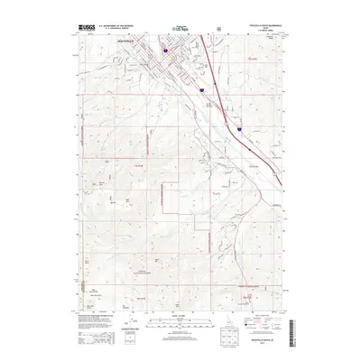
2013 Map of Pocatello South
USGS Topo · Published 2013About this map
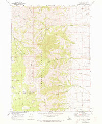
Idaho State Univ sits at the northern edge of this Idaho survey, marking the transition from the city of Pocatello to the high-elevation terrain of the Caribou National Forest. The urban street grid of the southern city limits, including N Main St and E Center St, quickly gives way to the prominent ridges of Red Hill and the higher elevations of Kinport Peak and Wild Mtn. The Portneuf River flows through the northern section, flanked by the Riverside Municipal Golf Course and Mtn View Cem.
Find a feature on this map
122 named features on this map. Tap any name to fly to it.
Don’t see what you’re looking for? This feature index may not catch every label — zoom into the map to look around manually.
Map Details
Editions of this 2013 Pocatello South Map
This is the sole edition of this map. No revisions or reprints were ever made.
Other maps of this area
1934 · Michaud
USGS Topo · 1:62,500
1937 · Pocatello
USGS Topo · 1:48,000
1937 · Michaud
USGS Topo · 1:62,500
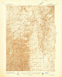
1938 · Pauline
USGS Topo · 1:48,000
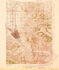
1944 · Pocatello
USGS Topo · 1:62,500
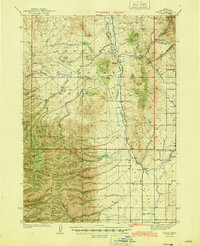
1944 · Arbon
USGS Topo · 1:62,500

1954 · Pocatello
USGS Topo · 1:250,000

1958 · Pocatello
USGS Topo · 1:250,000
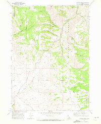
1968 · Clifton Creek
USGS Topo · 1:24,000
1968 · Scout Mtn
USGS Topo · 1:24,000