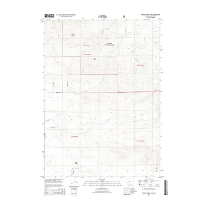
2015 Map of Pocket Creek Lake
USGS Topo · Published 2015About this map
Big Sandy sits at the southern edge of this high-altitude landscape, where the plains give way to the rising foothills of the Bridger National Forest. The map detail reveals a complex network of waterways, centered on the flow of the E Fork River and its numerous tributaries like Irish Canyon Cr and Muddy Cr. To the north, the terrain becomes increasingly complex, marked by prominent landmarks such as Chimney Butte and Aspen Butte. High mountain basins hold isolated bodies of water including Pocket Creek Lake, Cottonwood Lake, and Jim Lake. This 2015 survey illustrates how modern access roads like Aspen Butte Rd and Pocket Creek Rd navigate the township and range lines of this Wyoming wilderness, providing a clear record of the intersection between public land management and the natural hydrology of the region.
Find a feature on this map
28 named features on this map. Tap any name to fly to it.
Don’t see what you’re looking for? This feature index may not catch every label — zoom into the map to look around manually.
Map Details
Editions of this 2015 Pocket Creek Lake Map
This is the sole edition of this map. No revisions or reprints were ever made.
Other maps of this area

1938 · Mt Bonneville
USGS Topo · 1:62,500

1941 · Mt Bonneville
USGS Topo · 1:62,500

1942 · Mt Bonneville
USGS Topo · 1:62,500

1955 · Lander
USGS Topo · 1:250,000

1958 · Lander
USGS Topo · 1:250,000

1961 · Lander
USGS Topo · 1:250,000

1964 · Fremont Butte
USGS Topo · 1:24,000
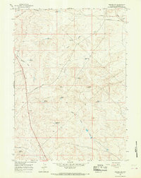
1964 · Square Top
USGS Topo · 1:24,000
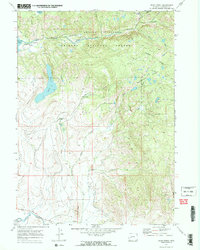
1968 · Scab Creek
USGS Topo · 1:24,000

1969 · Pocket Creek Lake
USGS Topo · 1:24,000