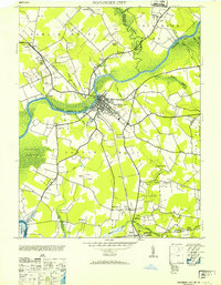
1953 Map of Pocomoke City
USGS Topo · Published 1953About this map
Pocomoke City serves as the focal point of this Delmarva Peninsula study, situated at a strategic bend where the Pocomoke River transitions through the marshy lowlands of the Maryland and Virginia border. The 1953 landscape is defined by its waterborne geography, showing how settlements like Puncheon Landing and Unionville are tied to the intricate network of creeks and swamps, including Cypress Swamp and Beaverdam Swamp.
Find a feature on this map
47 named features on this map. Tap any name to fly to it.
Don’t see what you’re looking for? This feature index may not catch every label — zoom into the map to look around manually.
Map Details
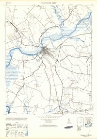
Editions of this 1953 Pocomoke City Map
2 editions found
Other maps of this area

1901 · Snow Hill
USGS Topo · 1:62,500

1942 · Kingston
USGS Topo · 1:24,000

1942 · Princess Anne
USGS Topo · 1:24,000

1942 · Snow Hill
USGS Topo · 1:24,000

1942 · Saxis
USGS Topo · 1:24,000

1942 · Dividing Creek
USGS Topo · 1:24,000

1943 · Snow Hill
USGS Topo · 1:31,680

1943 · Dividing Creek
USGS Topo · 1:31,680
1943 · Princess Anne
USGS Topo · 1:31,680

1943 · Saxis
USGS Topo · 1:31,680