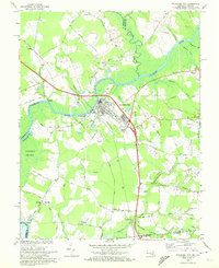
1968 Map of Pocomoke City
USGS Topo · Published 1972About this map
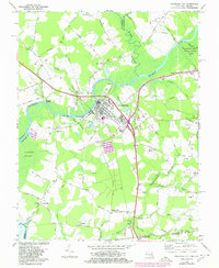
Pocomoke River curves through the heart of the Lower Eastern Shore, anchoring a landscape defined by its riparian economy and borderland geography. In the late 1960s, Pocomoke City serves as a hub of activity, with its street grid and industrial assets like the Penn Central railroad and a conveyor system near the water. The survey captures a distinct mix of agricultural and swampy terrain, most notably the northern reaches of the Cypress Swamp and the dense network of drainage branches like Union Branch and Costen Branch. To the south, the map crosses into Virginia, highlighting the rural communities of Wagram and Cedar Hall. Long-established social anchors are visible throughout the countryside, including Quinton Ch, Trinity Ch, and the Salem Cem, alongside evidence of local industry at various sandpits and a drive-in theater south of the city.
Find a feature on this map
81 named features on this map. Tap any name to fly to it.
Don’t see what you’re looking for? This feature index may not catch every label — zoom into the map to look around manually.
Map Details
Editions of this 1968 Pocomoke City Map
2 editions found
Other maps of this area

1901 · Snow Hill
USGS Topo · 1:62,500

1942 · Kingston
USGS Topo · 1:24,000

1942 · Princess Anne
USGS Topo · 1:24,000

1942 · Snow Hill
USGS Topo · 1:24,000

1942 · Saxis
USGS Topo · 1:24,000

1942 · Dividing Creek
USGS Topo · 1:24,000

1943 · Snow Hill
USGS Topo · 1:31,680

1943 · Dividing Creek
USGS Topo · 1:31,680
1943 · Princess Anne
USGS Topo · 1:31,680

1943 · Saxis
USGS Topo · 1:31,680