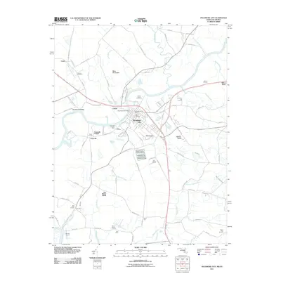
1968 Map of Pocomoke City
USGS Topo · Published 1980About this map
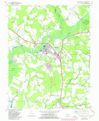
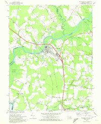
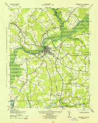
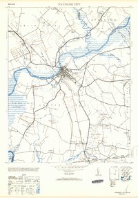
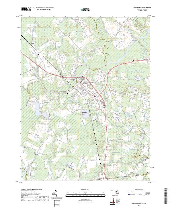
Pocomoke River serves as the central artery for this Eastern Shore landscape, winding through a patchwork of agricultural fields and dense wetlands including the Cypress Swamp. The city of Pocomoke City is the primary hub, showing a concentrated street grid, a Station along the Conrail line, and a High School. Outlying rural settlements like Cokesbury, Wagram, and Unionville are connected by a network of named country roads, such as Cedar Hall Road and Peach Orchard Road. The mapping reveals a community deeply rooted in its local geography, with numerous small burial grounds and places of worship including Tindlys Chapel Cem and Beaver Dam Ch. Evidence of local industry and river-based transport is visible at Puncheon Landing, where a Conveyor and Water Tank are noted near the riverbanks.
Find a feature on this map
81 named features on this map. Tap any name to fly to it.
Don’t see what you’re looking for? This feature index may not catch every label — zoom into the map to look around manually.
Map Details
Editions of this 1968 Pocomoke City Map
2 editions found
Historical Maps of Pocomoke City Through Time
8 maps found
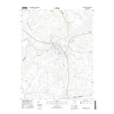
1943 Pocomoke City
Worcester County, MD
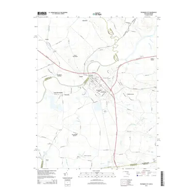
1953 Pocomoke City
Worcester County, MD
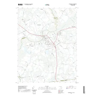
1968 Pocomoke City
Worcester County, MD
2011 Pocomoke City
Worcester County, MD
2014 Pocomoke City
Worcester County, MD
2016 Pocomoke City
Worcester County, MD
2019 Pocomoke City
Worcester County, MD
2023 Pocomoke City
Worcester County, MD