
1919 Map of Pocono
USGS Topo · Published 1919About this map
The Tobyhanna Military Reservation dominates the northwest quadrant of this 1918 compilation, reflecting the area's mobilization during the Great War era. This advance sheet, prepared under the direction of Brig. Gen. Theo. A. Bingham, illustrates a transition from the wilder uplands of the Poconos to the established railway settlements of Monroe County. The rail network of the Delaware Lackawanna and Western R.R. and the Wilkesbarre & Eastern R.R. dictates the growth of local hubs like Mount Pocono and Tobyhanna.
Find a feature on this map
36 named features on this map. Tap any name to fly to it.
Don’t see what you’re looking for? This feature index may not catch every label — zoom into the map to look around manually.
Map Details
Editions of this 1919 Pocono Map
This is the sole edition of this map. No revisions or reprints were ever made.
Other maps of this area
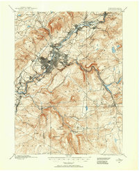
1889 · Scranton
USGS Topo · 1:62,500
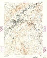
1891 · Scranton
USGS Topo · 1:62,500

1891 · Delaware Water Gap
USGS Topo · 1:62,500

1893 · Delaware Water Gap
USGS Topo · 1:62,500
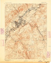
1893 · Scranton
USGS Topo · 1:62,500

1914 · Wind Gap
USGS Topo · 1:62,500

1916 · Wind Gap
USGS Topo · 1:62,500

1921 · Pocono
USGS Topo · 1:62,500

1922 · Mauch Chunk
USGS Topo · 1:62,500

1922 · Stoddartsville
USGS Topo · 1:62,500
Featured Places
- Tobyhanna, Coolbaugh Township
- Mount Pocono, PA
- Clifton Township, PA
- Pocono Pines, Tobyhanna Township
- Pocono Pines, Tobyhanna Township