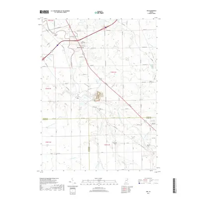
2019 Map of Poe
USGS Topo · Published 2019About this map
The Saint Marys River winds through this landscape on the border of Allen and Wells Counties, anchoring a region defined by small settlements and established agricultural drainage. The community of Hessen Cassel sits near the northern edge of the map, marked by the Saint Joseph Roman Catholic Cem, while the village of Poe is located further south along the river. A dense network of drainage systems, including Snyder Ditch, Valentine Ditch, and Lambert Ditch, illustrates the intensive land management required for the area's farming economy.
Find a feature on this map
92 named features on this map. Tap any name to fly to it.
Don’t see what you’re looking for? This feature index may not catch every label — zoom into the map to look around manually.
Map Details
Editions of this 2019 Poe Map
This is the sole edition of this map. No revisions or reprints were ever made.
Other maps of this area

1953 · Fort Wayne
USGS Topo · 1:250,000

1953 · Muncie
USGS Topo · 1:250,000

1956 · Muncie
USGS Topo · 1:250,000

1956 · Fort Wayne
USGS Topo · 1:250,000

1956 · Fort Wayne West
USGS Topo · 1:24,000

1956 · Fort Wayne East
USGS Topo · 1:24,000

1957 · Maples
USGS Topo · 1:24,000

1961 · Hoagland
USGS Topo · 1:24,000

1962 · Poe
USGS Topo · 1:24,000

1962 · Uniondale
USGS Topo · 1:24,000