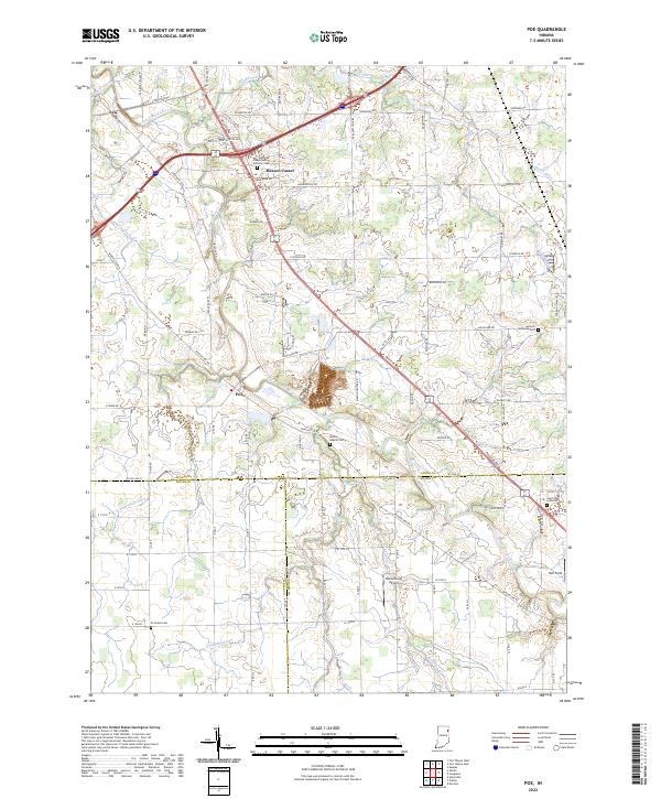
2022 Map of Poe
USGS Topo · Published 2022About this map
The Saint Marys River meanders through the heart of this rural landscape where the boundaries of Allen, Wells, and Adams counties converge. The small community of Poe and the settlement of Hessen Cassel serve as the primary hubs in an area defined by extensive agricultural drainage systems, such as Valentine Ditch and Houk Ditch. Historically significant sites are anchored by numerous religious grounds, including Saint Joseph Roman Catholic Cem and Antioch Lutheran Cem, which offer key points of interest for genealogical research in this part of Indiana. Transportation routes like Wayne Trce and the diagonal corridor of Decatur Rd highlight the enduring road network of the region, while specialized locations like Blomenberg Airport and Holt Field provide unique markers in the local topography.
Find a feature on this map
91 named features on this map. Tap any name to fly to it.
Don’t see what you’re looking for? This feature index may not catch every label — zoom into the map to look around manually.
Map Details
Editions of this 2022 Poe Map
This is the sole edition of this map. No revisions or reprints were ever made.
Other maps of this area

1953 · Fort Wayne
USGS Topo · 1:250,000

1953 · Muncie
USGS Topo · 1:250,000

1956 · Muncie
USGS Topo · 1:250,000

1956 · Fort Wayne
USGS Topo · 1:250,000

1956 · Fort Wayne West
USGS Topo · 1:24,000

1956 · Fort Wayne East
USGS Topo · 1:24,000

1957 · Maples
USGS Topo · 1:24,000

1961 · Hoagland
USGS Topo · 1:24,000

1962 · Poe
USGS Topo · 1:24,000

1962 · Uniondale
USGS Topo · 1:24,000