
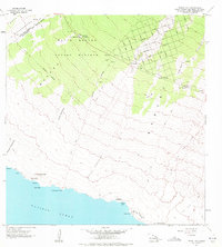
1962 Map of Pohue Bay
USGS Topo · Published 1964About this map
Manuka Forest Reserve and the surrounding volcanic landscape dominate this early 1960s study of the South Kona and Kau Districts. The terrain is a complex record of geological history, defined by the Lava Flow of 1907 and Lava Flow of 1887, which create distinct islands of vegetation known as kipukas, including Kipuka Kanohina and Kipuka Waiahuli. While the higher elevations show signs of modern development with roads like Aloha Blvd and Sea Breeze Parkway, the shoreline remains largely isolated and primitive.
Find a feature on this map
56 named features on this map. Tap any name to fly to it.
Don’t see what you’re looking for? This feature index may not catch every label — zoom into the map to look around manually.
Map Details
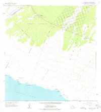
Editions of this 1962 Pohue Bay Map
3 editions found
Other maps of this area

1924 · Kalae
USGS Topo · 1:62,500

1924 · Honuapo
USGS Topo · 1:62,500

1928 · Hoopuloa
USGS Topo · 1:62,500

1954 · Hawaii South
USGS Topo · 1:250,000

1959 · Hawaii South
USGS Topo · 1:250,000

1961 · Hawaii South
USGS Topo · 1:250,000

1962 · Hawaii South
USGS Topo · 1:250,000

1962 · Milolii
USGS Topo · 1:24,000

1962 · Puu Hou
USGS Topo · 1:24,000

1962 · Kahuku Ranch
USGS Topo · 1:24,000