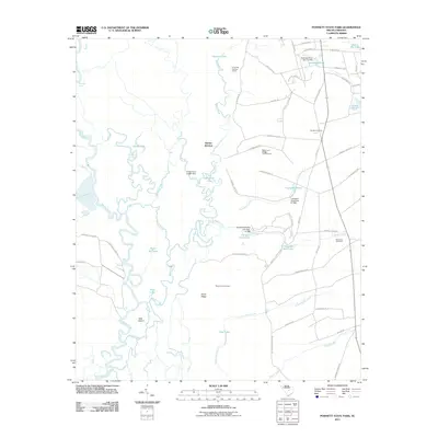
2011 Map of Poinsett State Park
USGS Topo · Published 2011About this map
Sumter Junction sits at the heart of this South Carolina landscape, where the flatlands meet the complex hydrology of the Wateree River basin. The map reveals an intricate network of oxbows and backwaters, including Kohlers Old River and Holly Hill Lake, alongside the broad path of Beech Creek. These water features define the local geography, providing habitat and resources that have long supported activities like those at the Riverside Hunting Camp.
Find a feature on this map
62 named features on this map. Tap any name to fly to it.
Don’t see what you’re looking for? This feature index may not catch every label — zoom into the map to look around manually.
Map Details
Editions of this 2011 Poinsett State Park Map
This is the sole edition of this map. No revisions or reprints were ever made.
Other maps of this area

1943 · Eastover
USGS Topo · 1:62,500

1946 · Elloree
USGS Topo · 1:62,500

1946 · Sumter
USGS Topo · 1:62,500

1953 · Poinsett State Park
USGS Topo · 1:24,000

1953 · Eastover
USGS Topo · 1:24,000

1953 · Wedgefield
USGS Topo · 1:24,000

1953 · Wateree
USGS Topo · 1:24,000

1954 · Augusta
USGS Topo · 1:250,000

1957 · Sumter West
USGS Topo · 1:24,000

1957 · Sumter
USGS Topo · 1:62,500