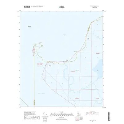
2020 Map of Point au Fer
USGS Topo · Published 2020About this map
Point Au Fer Island sits at the edge of the Gulf of Mexico, defining the southern boundary of Atchafalaya Bay. This 2020 record of the Terrebonne Parish coastline shows a landscape dominated by shifting marshland and complex waterways, where the Point au Fer Shell Reef and Point au Fer itself meet the open sea. The map highlights the intricate network of cuts and passes that characterize the deltaic environment, including Raquet Pass and Alligator Cut.
Find a feature on this map
25 named features on this map. Tap any name to fly to it.
Don’t see what you’re looking for? This feature index may not catch every label — zoom into the map to look around manually.
Map Details
Editions of this 2020 Point au Fer Map
This is the sole edition of this map. No revisions or reprints were ever made.
Other maps of this area

1932 · Lake Decade
USGS Topo · 1:62,500

1935 · Oyster Bayou
USGS Topo · 1:62,500

1945 · New Orleans
USGS Topo · 1:250,000

1957 · Lake Decade
USGS Topo · 1:62,500
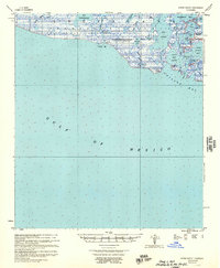
1957 · Oyster Bayou
USGS Topo · 1:62,500

1957 · Point Au Fer
USGS Topo · 1:62,500

1963 · New Orleans
USGS Topo · 1:250,000

1966 · New Orleans
USGS Topo · 1:250,000
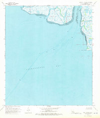
1970 · Point Au Fer NE
USGS Topo · 1:24,000
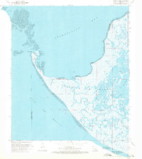
1970 · Point Au Fer
USGS Topo · 1:24,000