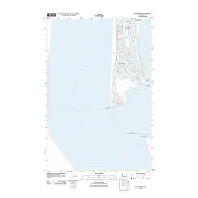
2011 Map of Point Brown
USGS Topo · Published 2011About this map
Ocean Shores occupies the narrow peninsula between the Pacific Ocean and the inland waters of Grays Harbor on this 2011 survey. The landscape is defined by an intricate network of residential streets and a central freshwater system centered on Duck Lake. This planned coastal community's infrastructure is prominently displayed, featuring the Ocean Shores Municipal Airport at the northern end and the Ocean Shores Marina near the southern tip at Point Brown.
Find a feature on this map
67 named features on this map. Tap any name to fly to it.
Don’t see what you’re looking for? This feature index may not catch every label — zoom into the map to look around manually.
Map Details
Editions of this 2011 Point Brown Map
This is the sole edition of this map. No revisions or reprints were ever made.
Other maps of this area

1938 · Moclips
USGS Topo · 1:62,500

1941 · Moclips
USGS Topo · 1:62,500

1941 · Grayland
USGS Topo · 1:62,500

1943 · Copalis Beach
USGS Topo · 1:250,000

1951 · Copalis Beach
USGS Topo · 1:250,000

1955 · Point Brown
USGS Topo · 1:24,000

1955 · Copalis Beach
USGS Topo · 1:24,000

1956 · Copalis Crossing
USGS Topo · 1:24,000
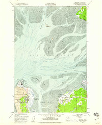
1956 · Westport
USGS Topo · 1:24,000
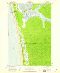
1956 · Grayland
USGS Topo · 1:24,000