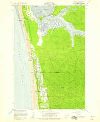
1956 Map of Grayland
USGS Topo · Published 1959About this map
Cranberry Bogs define the coastal lowlands of this 1950s survey, illustrating a specialized agricultural landscape between the Pacific Ocean and the rising timberlands of Seastrand Ridge. The shoreline is characterized by a series of Sand Dunes and the prominent Twin Harbors Beach State Park, while the interior shows the dense drainage network of the Elk River and its various forks. Settlement is concentrated along the north-south axis of the coast in Grayland and Heather, with numerous family-named roads like Lungren Road and Jacobsen Road indicating the rural distribution of residents and farms.
Find a feature on this map
33 named features on this map. Tap any name to fly to it.
Don’t see what you’re looking for? This feature index may not catch every label — zoom into the map to look around manually.
Map Details
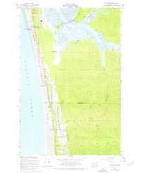
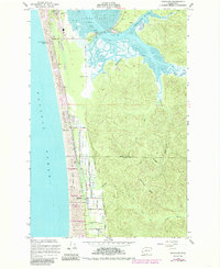
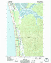
Editions of this 1956 Grayland Map
4 editions found
Other maps of this area

1938 · Cape Shoalwater
USGS Topo · 1:62,500

1938 · South Bend
USGS Topo · 1:62,500

1940 · South Bend
USGS Topo · 1:62,500

1941 · Grayland
USGS Topo · 1:62,500

1943 · Copalis Beach
USGS Topo · 1:250,000

1951 · Copalis Beach
USGS Topo · 1:250,000

1953 · Hoquiam
USGS Topo · 1:250,000

1955 · Point Brown
USGS Topo · 1:24,000
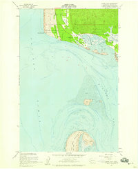
1956 · North Cove
USGS Topo · 1:24,000
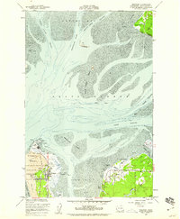
1956 · Westport
USGS Topo · 1:24,000