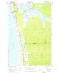
1956 Map of Grayland
USGS Topo · Published 1977About this map
The coastal interface of the Grays Harbor and Pacific County line reveals an specialized agricultural and maritime landscape defined by its wetlands. Extensive Cranberry Bog systems and the Evergreen Bog dominate the lowlands behind the Sand Dunes, showing how early 20th-century settlers adapted this moist terrain for commercial cultivation. The settlement of Grayland serves as the central hub, supported by a network of family-named thoroughfares such as Smith Road, Lungren Road, and Udell Hansen Road that partition the coastal plain.
Find a feature on this map
36 named features on this map. Tap any name to fly to it.
Don’t see what you’re looking for? This feature index may not catch every label — zoom into the map to look around manually.
Map Details
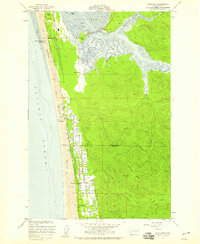
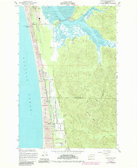
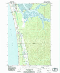
Editions of this 1956 Grayland Map
4 editions found
Other maps of this area

1938 · Cape Shoalwater
USGS Topo · 1:62,500

1938 · South Bend
USGS Topo · 1:62,500

1940 · South Bend
USGS Topo · 1:62,500

1941 · Grayland
USGS Topo · 1:62,500

1943 · Copalis Beach
USGS Topo · 1:250,000

1951 · Copalis Beach
USGS Topo · 1:250,000

1953 · Hoquiam
USGS Topo · 1:250,000

1955 · Point Brown
USGS Topo · 1:24,000
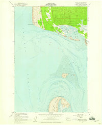
1956 · North Cove
USGS Topo · 1:24,000
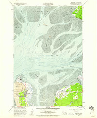
1956 · Westport
USGS Topo · 1:24,000