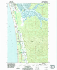
1956 Map of Grayland
USGS Topo · Published 1995About this map
Cranberry Bogs dominate the low-lying coastal plains of this 1956 survey, revealing a specialized agricultural landscape defined by intricate drainage networks and family-run operations. Settlements like Grayland and Heather are centered around this industry, with local transit supported by roads named for area residents such as Udel Hansen Road and Jacobson Road. The terrain transitions sharply from the intensive cultivation of the Roberts Farm area to the tidal complexities of South Bay and Sopun Inlet.
Find a feature on this map
45 named features on this map. Tap any name to fly to it.
Don’t see what you’re looking for? This feature index may not catch every label — zoom into the map to look around manually.
Map Details
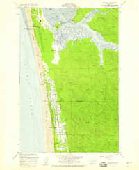
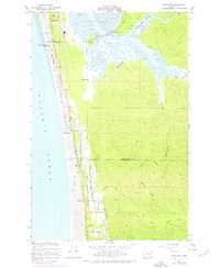
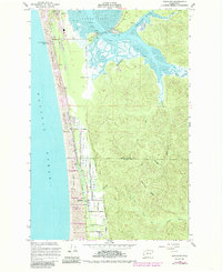
Editions of this 1956 Grayland Map
4 editions found
Other maps of this area

1938 · Cape Shoalwater
USGS Topo · 1:62,500

1938 · South Bend
USGS Topo · 1:62,500

1940 · South Bend
USGS Topo · 1:62,500

1941 · Grayland
USGS Topo · 1:62,500

1943 · Copalis Beach
USGS Topo · 1:250,000

1951 · Copalis Beach
USGS Topo · 1:250,000

1953 · Hoquiam
USGS Topo · 1:250,000

1955 · Point Brown
USGS Topo · 1:24,000
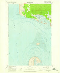
1956 · North Cove
USGS Topo · 1:24,000
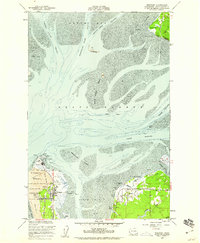
1956 · Westport
USGS Topo · 1:24,000