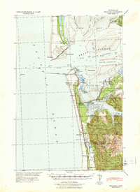
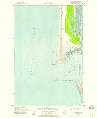
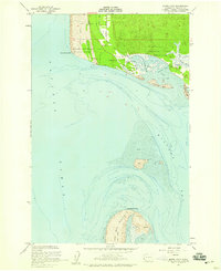
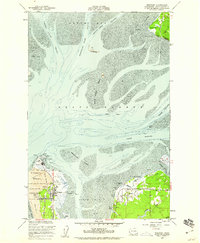
1956 Map of Grayland
USGS Topo · Published 1985About this map
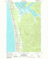
The coastal economy of Southwest Washington is visibly defined by the extensive Cranberry Bog network that stretches inland from the Sand Dunes. This survey, updated from earlier mid-century data, captures the structured agricultural landscape where Drainage Ditch No 1 and an intricate system of levees manage the low-lying terrain between the Pacific Ocean and the mud flats of South Bay. The linear settlement of Grayland serves as the focal point, situated along the primary thoroughfare parallel to the coastline.
Find a feature on this map
50 named features on this map. Tap any name to fly to it.
Don’t see what you’re looking for? This feature index may not catch every label — zoom into the map to look around manually.
Map Details
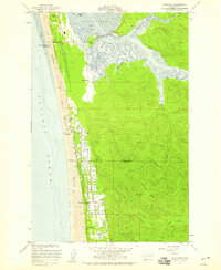
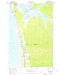
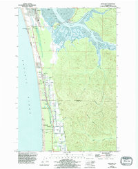
Editions of this 1956 Grayland Map
4 editions found
Other maps of this area

1938 · Cape Shoalwater
USGS Topo · 1:62,500

1938 · South Bend
USGS Topo · 1:62,500

1940 · South Bend
USGS Topo · 1:62,500
1941 · Grayland
USGS Topo · 1:62,500

1943 · Copalis Beach
USGS Topo · 1:250,000

1951 · Copalis Beach
USGS Topo · 1:250,000

1953 · Hoquiam
USGS Topo · 1:250,000
1955 · Point Brown
USGS Topo · 1:24,000
1956 · North Cove
USGS Topo · 1:24,000
1956 · Westport
USGS Topo · 1:24,000