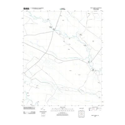
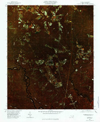
2010 Map of Point Caswell
USGS Topo · Published 2010About this map
Point Caswell and the winding course of the Black River define this section of the coastal plain in the early 21st century. The map documents a landscape where river landings and family-named bluffs serve as the primary landmarks, reflecting a deep historical connection to the waterway. Locations such as Sparkleberry Landing, Long Bluff Landing, and Blerion Landing illustrate the enduring importance of river access in this corner of North Carolina.
Find a feature on this map
58 named features on this map. Tap any name to fly to it.
Don’t see what you’re looking for? This feature index may not catch every label — zoom into the map to look around manually.
Map Details
Editions of this 2010 Point Caswell Map
This is the sole edition of this map. No revisions or reprints were ever made.
Other maps of this area

1953 · Florence
USGS Topo · 1:250,000

1954 · Florence
USGS Topo · 1:250,000

1954 · White Lake
USGS Topo · 1:62,500

1954 · Acme
USGS Topo · 1:62,500

1954 · Bolton
USGS Topo · 1:62,500

1955 · Atkinson
USGS Topo · 1:62,500
1980 · Acme
USGS Topo · 1:24,000
1980 · Leland
USGS Topo · 1:24,000
1980 · Point Caswell
USGS Topo · 1:24,000
1980 · Currie
USGS Topo · 1:24,000