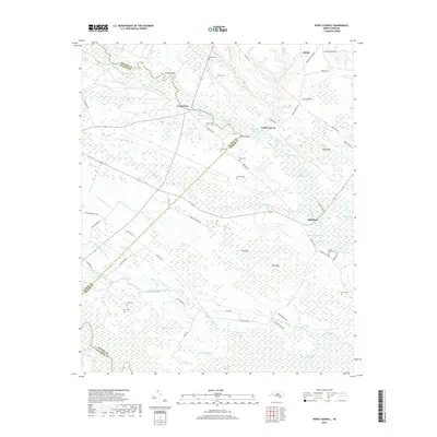
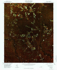
2019 Map of Point Caswell
USGS Topo · Published 2019About this map
The Black River winds through the lowlands of southeastern North Carolina, defining the rural landscape of Pender and Bladen counties. Near the riverbanks, small settlements like Point Caswell and Long View anchor a region characterized by extensive wetlands and family burial grounds. For genealogists, the map is a significant record of local heritage, preserving the locations of the Hunt Cem, Sherman Cem, and Larkins Cem.
Find a feature on this map
79 named features on this map. Tap any name to fly to it.
Don’t see what you’re looking for? This feature index may not catch every label — zoom into the map to look around manually.
Map Details
Editions of this 2019 Point Caswell Map
This is the sole edition of this map. No revisions or reprints were ever made.
Other maps of this area

1953 · Florence
USGS Topo · 1:250,000

1954 · Florence
USGS Topo · 1:250,000

1954 · White Lake
USGS Topo · 1:62,500

1954 · Acme
USGS Topo · 1:62,500

1954 · Bolton
USGS Topo · 1:62,500

1955 · Atkinson
USGS Topo · 1:62,500
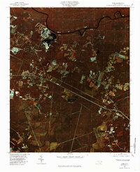
1980 · Acme
USGS Topo · 1:24,000
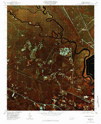
1980 · Leland
USGS Topo · 1:24,000
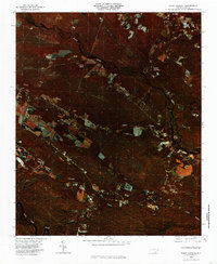
1980 · Point Caswell
USGS Topo · 1:24,000
1980 · Currie
USGS Topo · 1:24,000