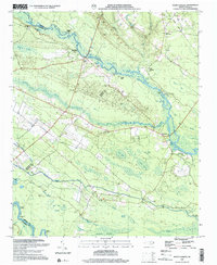
1997 Map of Point Caswell
USGS Topo · Published 2001About this map
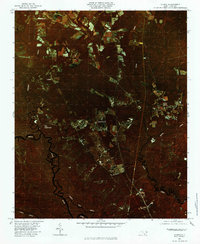
The Black River meanders through a dense network of swampy lowlands and tidal coves, defining the rural character of this Pender County landscape. The settlement of Point Caswell serves as a focal point near the river, surrounded by a high density of country churches and family burial grounds including Bethel Ch, Catstuck Ch, and the Larkins Cem. The terrain is marked by numerous river landings like Sparkleberry Landing and Long Bluff Landing, which once facilitated transport through the labyrinthine waterways of Colly Marsh and Buckle Swamp. An Old Railroad Grade in the northern portion of the quadrangle provides a trace of former timber or freight corridors that bypassed the winding river bends. Deep within the Cape Fear Lowlands, the map reveals a landscape where life was dictated by the confluence of the Black and Cape Fear River, punctuated by named bluffs such as Still Bluff and Nelson Bluff.
Find a feature on this map
62 named features on this map. Tap any name to fly to it.
Don’t see what you’re looking for? This feature index may not catch every label — zoom into the map to look around manually.
Map Details
Editions of this 1997 Point Caswell Map
This is the sole edition of this map. No revisions or reprints were ever made.
Other maps of this area

1953 · Florence
USGS Topo · 1:250,000

1954 · Florence
USGS Topo · 1:250,000

1954 · White Lake
USGS Topo · 1:62,500

1954 · Acme
USGS Topo · 1:62,500

1954 · Bolton
USGS Topo · 1:62,500

1955 · Atkinson
USGS Topo · 1:62,500
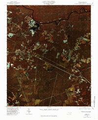
1980 · Acme
USGS Topo · 1:24,000
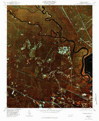
1980 · Leland
USGS Topo · 1:24,000
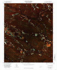
1980 · Point Caswell
USGS Topo · 1:24,000
1980 · Currie
USGS Topo · 1:24,000