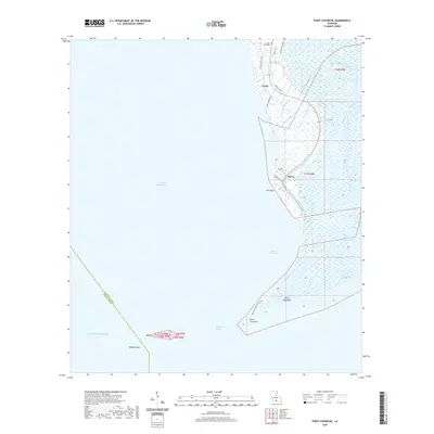
2020 Map of Point Chevreuil
USGS Topo · Published 2020About this map
Bayou Sale Bay and East Cote Blanche Bay meet at the southernmost tip of ST Mary Parish in this recent survey of coastal Louisiana. The landscape is defined by an intricate network of waterways, where Leopard Bayou and Lone Oak Bayou drain the marshes toward the Gulf Of Mexico. Small settlements like Burns and Gordy are tied to the coastal road system, including Lukes Landing Rd and Burns Point Ln.
Find a feature on this map
28 named features on this map. Tap any name to fly to it.
Don’t see what you’re looking for? This feature index may not catch every label — zoom into the map to look around manually.
Map Details
Editions of this 2020 Point Chevreuil Map
This is the sole edition of this map. No revisions or reprints were ever made.
Other maps of this area

1935 · Belle Isle
USGS Topo · 1:31,680

1937 · Bayou Sale
USGS Topo · 1:62,500

1941 · Belle Isle
USGS Topo · 1:62,500

1945 · New Orleans
USGS Topo · 1:250,000
1951 · Lake Point
USGS Topo · 1:24,000

1954 · Belle Isle
USGS Topo · 1:62,500

1957 · Bayou Sale
USGS Topo · 1:62,500

1957 · Point Au Fer
USGS Topo · 1:62,500

1963 · New Orleans
USGS Topo · 1:250,000

1966 · New Orleans
USGS Topo · 1:250,000