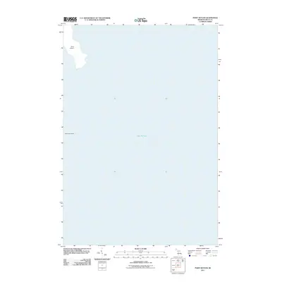
2011 Map of Point Detour
USGS Topo · Published 2011About this map
Point Detour reaches into the expansive waters of Lake Michigan at the southernmost edge of Delta County in this 2011 survey. This maritime landscape is defined by its coastal geography, including the northern tip of Summer Island positioned just offshore. The map emphasizes the isolation of the Garden Peninsula's tip, where the land gives way to the open lake. This specific perspective highlights the natural shoreline and navigational points that define this section of Michigan's Upper Peninsula, serving as a clean topographical record of the coast before any further development or shoreline shifts.
Find a feature on this map
3 named features on this map. Tap any name to fly to it.
Don’t see what you’re looking for? This feature index may not catch every label — zoom into the map to look around manually.
Map Details
Editions of this 2011 Point Detour Map
This is the sole edition of this map. No revisions or reprints were ever made.
Other maps of this area

1932 · Burnt Bluff SW
USGS Topo · 1:31,680

1932 · Burnt Bluff NE
USGS Topo · 1:31,680

1932 · Burnt Bluff NW
USGS Topo · 1:31,680

1954 · Escanaba
USGS Topo · 1:250,000

1957 · Escanaba
USGS Topo · 1:250,000

1958 · Escanaba
USGS Topo · 1:250,000

1958 · Fairport
USGS Topo · 1:62,500

1983 · Manistique
USGS Topo · 1:100,000

1984 · Washington Island
USGS Topo · 1:100,000
1985 · Devils Corner
USGS Topo · 1:24,000