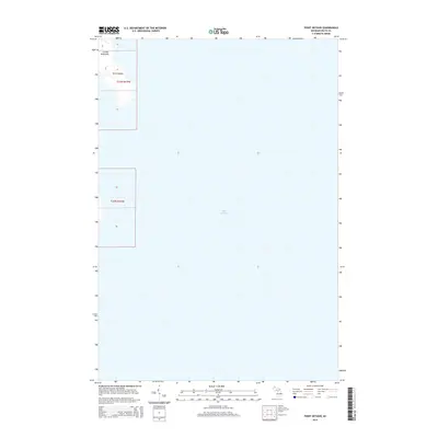
2014 Map of Point Detour
USGS Topo · Published 2014About this map
Point Detour marks the southernmost tip of the Garden Peninsula on this 2014 survey, where the land meets the vast expanse of Lake Michigan. This coastal chart captures a nearly unpopulated stretch of the Michigan shoreline, primarily focused on the maritime boundary and the natural protrusion of the peninsula into the Great Lakes. The map illustrates the specific geographic boundary of t37n r19w, showing the elevation contours of the peninsula's tip before it drops away into the deep water of the Big Bay de Noc and the main lake beyond. It is a precise record of the shoreline geometry and federal land survey divisions in a quiet, maritime corner of Delta County.
Find a feature on this map
4 named features on this map. Tap any name to fly to it.
Don’t see what you’re looking for? This feature index may not catch every label — zoom into the map to look around manually.
Map Details
Editions of this 2014 Point Detour Map
This is the sole edition of this map. No revisions or reprints were ever made.
Other maps of this area

1932 · Burnt Bluff SW
USGS Topo · 1:31,680

1932 · Burnt Bluff NE
USGS Topo · 1:31,680

1932 · Burnt Bluff NW
USGS Topo · 1:31,680

1954 · Escanaba
USGS Topo · 1:250,000

1957 · Escanaba
USGS Topo · 1:250,000

1958 · Escanaba
USGS Topo · 1:250,000

1958 · Fairport
USGS Topo · 1:62,500

1983 · Manistique
USGS Topo · 1:100,000

1984 · Washington Island
USGS Topo · 1:100,000
1985 · Devils Corner
USGS Topo · 1:24,000