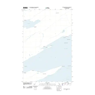
2011 Map of Point Houghton
USGS Topo · Published 2011About this map
Siskiwit Bay and the surrounding wilderness of Isle Royale dominate this coastal survey. The landscape is defined by the prominent Houghton Ridge, which terminates at Point Houghton near the Houghton Point Passage. This area serves as a significant intersection of land and water, where the inland Little Siskiwit River feeds toward the coast, and Lake Desor provides a large freshwater feature in the interior. Human presence is primarily represented through established campsites such as Siskiwit Bay Campground and Hay Bay Campground, reflecting the area's role as a protected natural space. Maritime features including Fishermans Home Cove, Brandsford Reef, and Butterfield Shoal emphasize the complex shoreline that has long guided navigation on Lake Superior.
Find a feature on this map
26 named features on this map. Tap any name to fly to it.
Don’t see what you’re looking for? This feature index may not catch every label — zoom into the map to look around manually.
Map Details
Editions of this 2011 Point Houghton Map
This is the sole edition of this map. No revisions or reprints were ever made.
Other maps of this area

1958 · Hancock
USGS Topo · 1:250,000

1959 · Fort William
USGS Topo · 1:250,000

1960 · Hancock
USGS Topo · 1:250,000

1961 · Hancock
USGS Topo · 1:250,000

1966 · Hancock
USGS Topo · 1:250,000

1968 · Fort William
USGS Topo · 1:250,000

1985 · Todd Harbor
USGS Topo · 1:100,000

1985 · Pigeon Point
USGS Topo · 1:100,000

1985 · Siskiwit Bay
USGS Topo · 1:100,000

1985 · Grand Portage
USGS Topo · 1:100,000