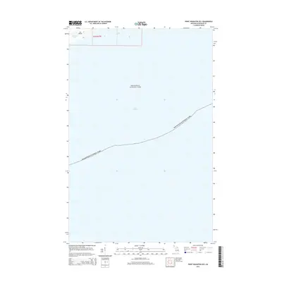
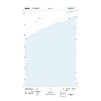
2014 Map of Point Houghton OE S
USGS Topo · Published 2014About this map
Isle Royale National Park dominates this maritime survey, illustrating the intersection of wilderness and the expansive waters of Lake Superior. The map focuses primarily on the southern offshore reaches of the archipelago within Keweenaw County, providing a clear boundary for the protected federal lands and the submerged territory surrounding them. In the northernmost section of the sheet, a small portion of Isle Royale itself is visible, specifically within t63n r37w. This area includes the isolated Stickleback Lake, a small interior water body situated amidst the topography of the island's rocky ridges. The map serves as a record of the park's nautical and terrestrial limits as they were managed in the early 21st century, emphasizing the isolation of this Lake Superior sanctuary.
Find a feature on this map
8 named features on this map. Tap any name to fly to it.
Don’t see what you’re looking for? This feature index may not catch every label — zoom into the map to look around manually.
Map Details
Editions of this 2014 Point Houghton OE S Map
This is the sole edition of this map. No revisions or reprints were ever made.
Other maps of this area

1958 · Hancock
USGS Topo · 1:250,000

1960 · Hancock
USGS Topo · 1:250,000

1961 · Hancock
USGS Topo · 1:250,000

1966 · Hancock
USGS Topo · 1:250,000

1985 · Siskiwit Bay
USGS Topo · 1:100,000

1985 · Grand Portage
USGS Topo · 1:100,000
1985 · Feldtmann Ridge
USGS Topo · 1:24,000
1985 · Malone Bay
USGS Topo · 1:24,000
1985 · Sugar Mountain
USGS Topo · 1:24,000
2011 · Feldtmann Ridge
USGS Topo · 1:24,000