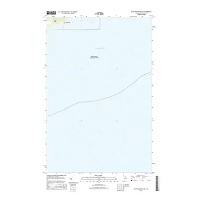
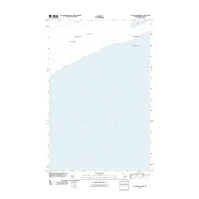
2017 Map of Point Houghton OE S
USGS Topo · Published 2017About this map
Isle Royale National Park occupies the vast majority of this maritime survey, illustrating the isolated character of the northern archipelago in Lake Superior. The map focus is primarily aquatic, showing the open water south of the main island masses. Only a small portion of land is visible in the upper left corner, where Isle Royale itself appears, providing a critical reference point for the surrounding waters within t63n r37w. This specific location highlights the remote nautical boundaries of Keweenaw County, emphasizing the distance between the island's southern shores and the Michigan mainland. The sparse terrestrial detail reflects the preservation of this wilderness area, where natural topography and shoreline geometry remain the primary features of interest for navigators and researchers of the Great Lakes.
Find a feature on this map
4 named features on this map. Tap any name to fly to it.
Don’t see what you’re looking for? This feature index may not catch every label — zoom into the map to look around manually.
Map Details
Editions of this 2017 Point Houghton OE S Map
This is the sole edition of this map. No revisions or reprints were ever made.
Other maps of this area

1958 · Hancock
USGS Topo · 1:250,000

1960 · Hancock
USGS Topo · 1:250,000

1961 · Hancock
USGS Topo · 1:250,000

1966 · Hancock
USGS Topo · 1:250,000

1985 · Siskiwit Bay
USGS Topo · 1:100,000

1985 · Grand Portage
USGS Topo · 1:100,000
1985 · Feldtmann Ridge
USGS Topo · 1:24,000
1985 · Malone Bay
USGS Topo · 1:24,000
1985 · Sugar Mountain
USGS Topo · 1:24,000
2011 · Feldtmann Ridge
USGS Topo · 1:24,000