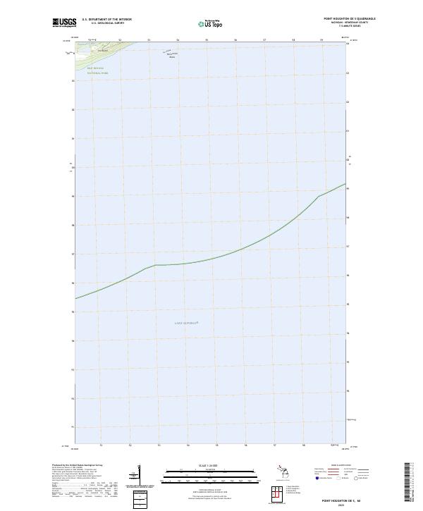
2023 Map of Point Houghton OE S
USGS Topo · Published 2023About this map
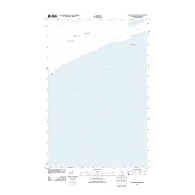
Isle Royale National Park dominates this map of a remote island interior, where the Isle Royale Wilderness protects a quiet landscape of ridges and wetlands. The northern edge of the sheet captures a portion of Isle Royale, specifically the terrain near Stickleback Lake and the rocky outcrops of McCormick Rocks. Surrounded by the vast expanse of Lake Superior, this area reflects the primitive state of the island's interior before the introduction of significant modern infrastructure. The presence of section boundaries like t63n r37w suggests the underlying cadastral survey that organized this land, even as it transitioned into a preserved national wilderness. This map is particularly valuable for understanding the geographical isolation and natural borders that define this northern Keweenaw County territory.
Find a feature on this map
7 named features on this map. Tap any name to fly to it.
Don’t see what you’re looking for? This feature index may not catch every label — zoom into the map to look around manually.
Map Details
Editions of this 2023 Point Houghton OE S Map
This is the sole edition of this map. No revisions or reprints were ever made.
Other maps of this area

1958 · Hancock
USGS Topo · 1:250,000

1960 · Hancock
USGS Topo · 1:250,000

1961 · Hancock
USGS Topo · 1:250,000

1966 · Hancock
USGS Topo · 1:250,000

1985 · Siskiwit Bay
USGS Topo · 1:100,000

1985 · Grand Portage
USGS Topo · 1:100,000
1985 · Feldtmann Ridge
USGS Topo · 1:24,000
1985 · Malone Bay
USGS Topo · 1:24,000
1985 · Sugar Mountain
USGS Topo · 1:24,000
2011 · Feldtmann Ridge
USGS Topo · 1:24,000