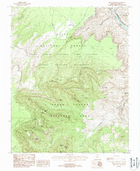
1988 Map of Point Imperial
USGS Topo · Published 1988About this map
Grand Canyon National Park dominates the southern half of this 1980s provisional study, meeting the Kaibab National Forest and the Saddle Mountain Wilderness to the north. This convergence of management boundaries highlights the complex preservation of the North Rim's high-altitude terrain. The landscape is defined by massive sedimentary formations, including named landmarks like Mount Hayden and Woolsey Butte, which overlook the deep drainage systems of Nankoweap Creek and Little Nankoweap Creek.
Find a feature on this map
40 named features on this map. Tap any name to fly to it.
Don’t see what you’re looking for? This feature index may not catch every label — zoom into the map to look around manually.
Map Details
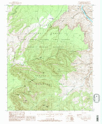
Editions of this 1988 Point Imperial Map
2 editions found
Other maps of this area

1886 · Echo Cliffs
USGS Topo · 1:250,000

1886 · Kaibab
USGS Topo · 1:250,000

1891 · Echo Cliffs
USGS Topo · 1:250,000

1903 · Bright Angel
USGS Topo · 1:48,000

1906 · Bright Angel
USGS Topo · 1:48,000

1907 · Vishnu
USGS Topo · 1:48,000

1953 · Grand Canyon
USGS Topo · 1:250,000

1954 · Nankoweap
USGS Topo · 1:62,500

1956 · Marble Canyon
USGS Topo · 1:250,000

1957 · Grand Canyon
USGS Topo · 1:250,000