
1927 Map of Point Isabelle
USGS Topo · Published 1927About this map
Mendota L H stands as a primary navigational landmark on this coastal survey of the Keweenaw Peninsula’s southern shore. The map details the vital maritime connection provided by the Mendota Canal, which links the sheltered waters of Lac la Belle to the expanse of Lake Superior. This 1930s compilation, derived from aerial photography and field examination by Glenn S. Smith, captures the shoreline’s intricate geography between Bete Gris Bay and Oliver Bay. The interior of the Grant township area is marked by a prominent Sand Dune and the hook of Pt Isabelle, illustrating the shifting coastal landscape before modern developments. The proximity of the small settlement of Mendota to the lighthouse and canal reflects the era's reliance on these waterways for local transit and commerce in Michigan's Copper Country.
Find a feature on this map
10 named features on this map. Tap any name to fly to it.
Don’t see what you’re looking for? This feature index may not catch every label — zoom into the map to look around manually.
Map Details
Editions of this 1927 Point Isabelle Map
This is the sole edition of this map. No revisions or reprints were ever made.
Other maps of this area

1938 · Delaware
USGS Topo · 1:31,680

1939 · Deer Lake
USGS Topo · 1:31,680

1939 · Delaware
USGS Topo · 1:31,680

1940 · Deer Lake
USGS Topo · 1:31,680

1940 · Fort Wilkins
USGS Topo · 1:31,680

1940 · Lake Medora
USGS Topo · 1:31,680
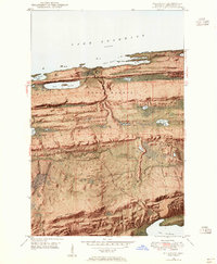
1948 · Delaware
USGS Topo · 1:24,000
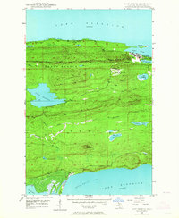
1948 · Lake Medora
USGS Topo · 1:24,000

1948 · Fort Wilkins
USGS Topo · 1:24,000
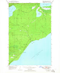
1948 · Deer Lake
USGS Topo · 1:24,000