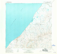
1955 Map of Point Lay A-3 and A-4
USGS Topo · Published 1970About this map
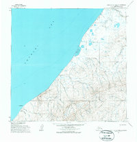
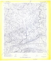
Cape Beaufort anchors the coastline of this remote coastal survey, where the Chukchi Sea meets the northern Alaskan shore. The landscape is defined by the transition from the marine environment of Omalik Lagoon to the rising elevations of the Amatusuk Hills. Human presence in the mid-1950s was sparse, marked by essential survival and transit infrastructure such as a solitary Cabin and the Omalik settlement area. The region’s connectivity relied heavily on seasonal routes, specifically the Winter Trail and a Tractor Trail that navigate the tundra and coastal flats. A primitive Landing Strip near the coast provides evidence of the era's increasing reliance on bush aviation for logistics and access. Numerous drainage systems including Kuchiak Creek and Amatusuk Creek carve through the terrain, illustrating the complex hydrology of the permafrost landscape before modern developments reached this far north.
Find a feature on this map
20 named features on this map. Tap any name to fly to it.
Don’t see what you’re looking for? This feature index may not catch every label — zoom into the map to look around manually.
Map Details
Editions of this 1955 Point Lay A-3 and A-4 Map
3 editions found
Other maps of this area

1951 · De Long Mountains
USGS Topo · 1:250,000

1951 · Point Lay
USGS Topo · 1:250,000

1955 · De Long Mountains
USGS Topo · 1:250,000

1955 · Point Lay
USGS Topo · 1:250,000

1955 · De Long Mountains D-2
USGS Topo · 1:63,360
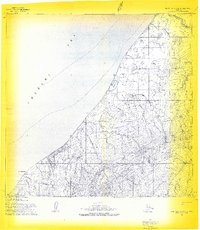
1955 · Point Lay A-3 & 4
USGS Topo · 1:63,360
1955 · Point Lay B-2 & 3
USGS Topo · 1:63,360
1955 · Point Lay A-2
USGS Topo · 1:63,360
1955 · De Long Mountains D-3
USGS Topo · 1:63,360

1955 · De Long Mountains D-4
USGS Topo · 1:63,360