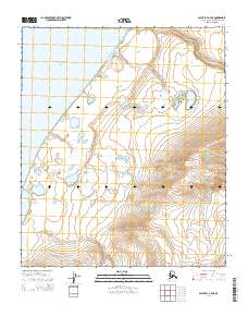
2014 Map of Point Lay A-3 NE
USGS Topo · Published 2014About this map
The Chukchi Sea coastline defines the northwestern edge of this Arctic landscape, where the cold waters meet a coastal plain characterized by complex drainage patterns. Significant hydrological features include the Omalik Lagoon, which serves as a transition between the marine environment and the inland tundra. The terrain is marked by the winding paths of Omalik Cr and Kuchiak Cr, which navigate the low-lying coastal elevation. This 2014 survey documents the hydrography of the North Slope at a time when traditional watercourses and coastal boundaries remain vital for understanding the region's environmental history and subsistence geography. The map provides a precise layout of the Public Land Survey System sections, providing a grid for land management across the vast, undeveloped reaches of the Alaska North Slope.
Find a feature on this map
10 named features on this map. Tap any name to fly to it.
Don’t see what you’re looking for? This feature index may not catch every label — zoom into the map to look around manually.
Map Details
Editions of this 2014 Point Lay A-3 NE Map
This is the sole edition of this map. No revisions or reprints were ever made.
Other maps of this area

1951 · Point Lay
USGS Topo · 1:250,000

1955 · Point Lay
USGS Topo · 1:250,000
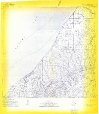
1955 · Point Lay A-3 & 4
USGS Topo · 1:63,360
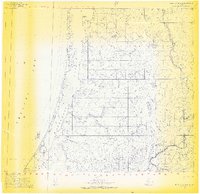
1955 · Point Lay B-2 & 3
USGS Topo · 1:63,360
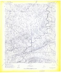
1955 · Point Lay A-2
USGS Topo · 1:63,360
1956 · Point Lay A-2
USGS Topo · 1:63,360

1965 · Point Lay
USGS Topo · 1:250,000
2014 · Point Lay A-3 SW
USGS Topo · 1:25,000
2014 · Point Lay B-2 SW
USGS Topo · 1:25,000
2014 · Point Lay A-2 SW
USGS Topo · 1:25,000